

Picture-element maps are particularly useful for locating maps on a dashboard such as a house plan.
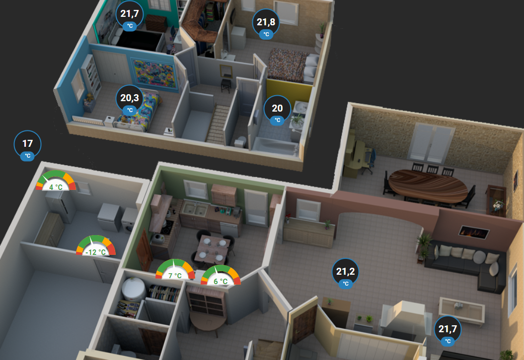
Documentation explains their use.
I was regularly blocked to add some cards that did not fit into the elements of the card picture-elements.
Example of a graph
For example, a simple graph:
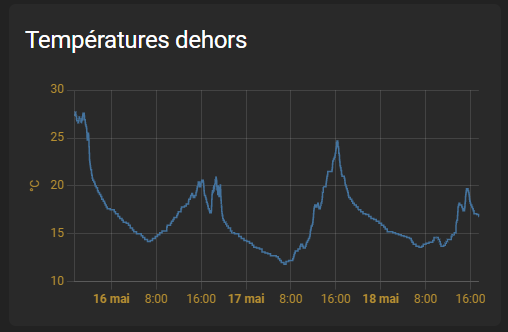
type: history-graph title: Temperature outside hours_to _show: 72 show_names: false entities: - entity: sensor.temperature_external _sud _temperature
Raw integration in picture-elements
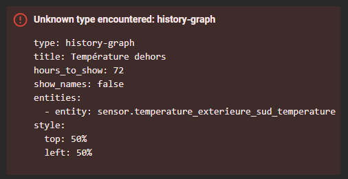
If I include this card, with this code:
type: picture-elements image: /local/house/1920x1000/transparent.png elements: - type: history-graph title: Temperature outside hours_to _show: 72 show_names: false entities: - entity: sensor.temperature _external _sud _temperature style: top: 50% left: 50%
The result is as follows: 😢😢😢😢
Integration via a custom:mod-card
If I integrate the graphic into a custom:mod-card and then into a picture-elements itself, here is the code:
type: picture-elements image: /local/house/1920x1000/transparent.png elements: - type: custom:mod-card card: type: history-graph title: Temperature outside hours_to _show: 72 show_names: false entities: - entity: sensor.temperature _external _sud _temperature style: top: 50% left: 50%
Result:
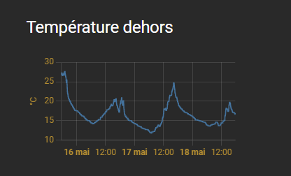
Mission accomplished. 👍👍👍👍
Other cards?
Other cards should make it possible to do the same thing as mod-card, to be tested.
May be with custom:stack-in-card
- Thanks to WarC0zes and Pulpy-Luke for this combination
- A question? ask there on this discussion
 English
 French
 Spanish
 Chinese
 German